
Sunrise over Rapele Ridge
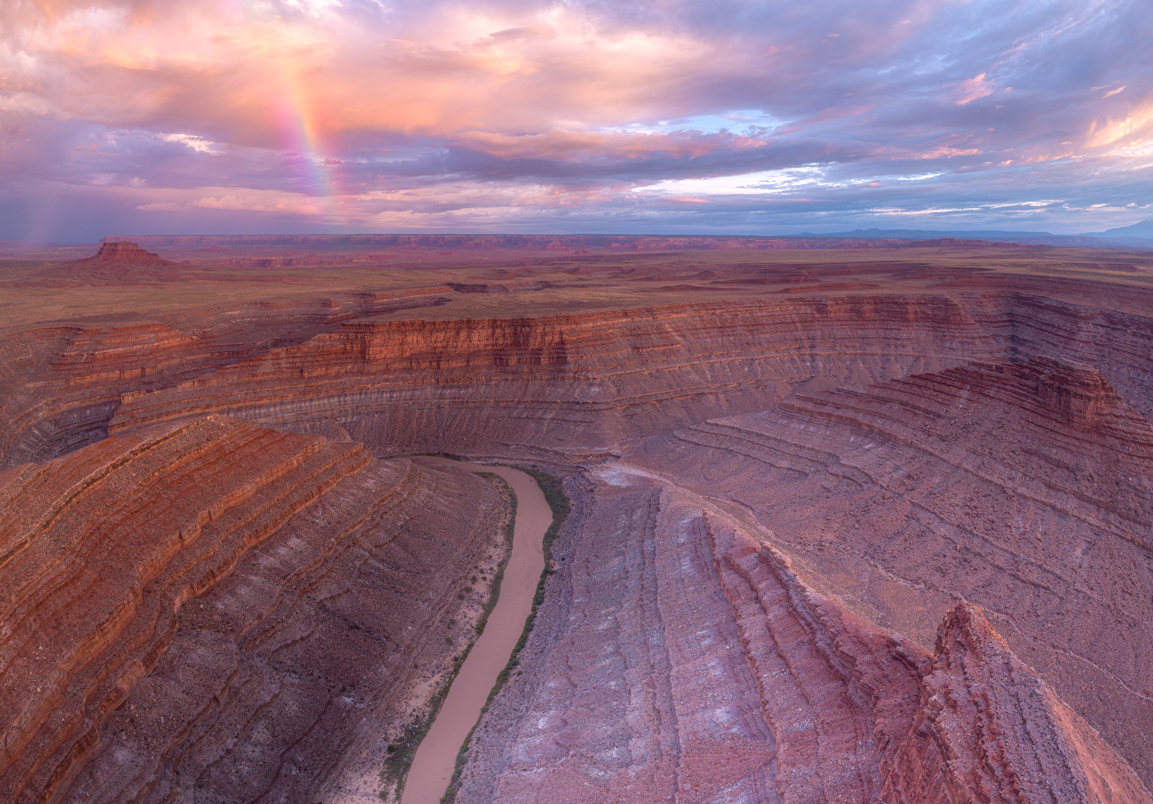
San Juan Overlook Rainbow 1

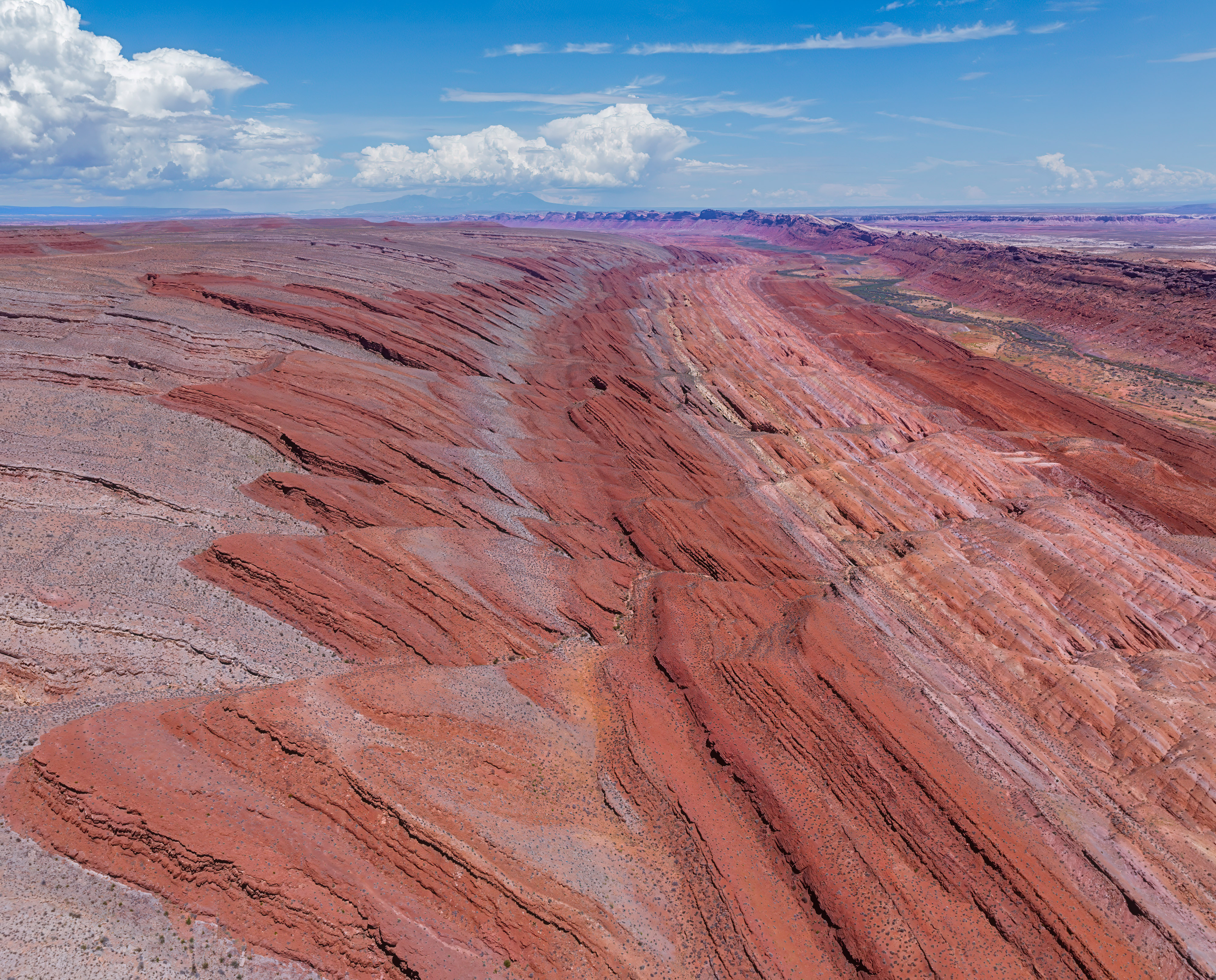
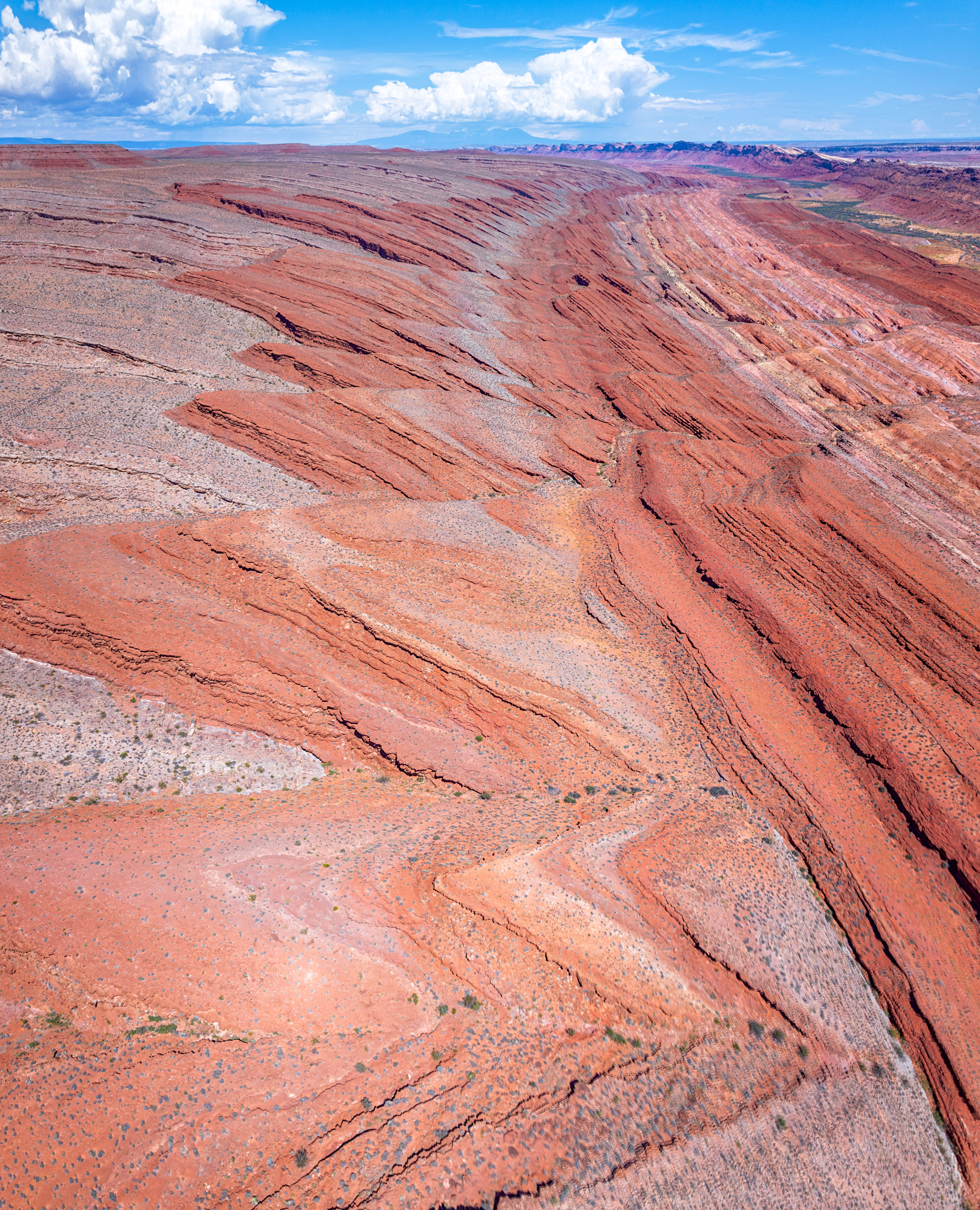
Raplee Ridge 2
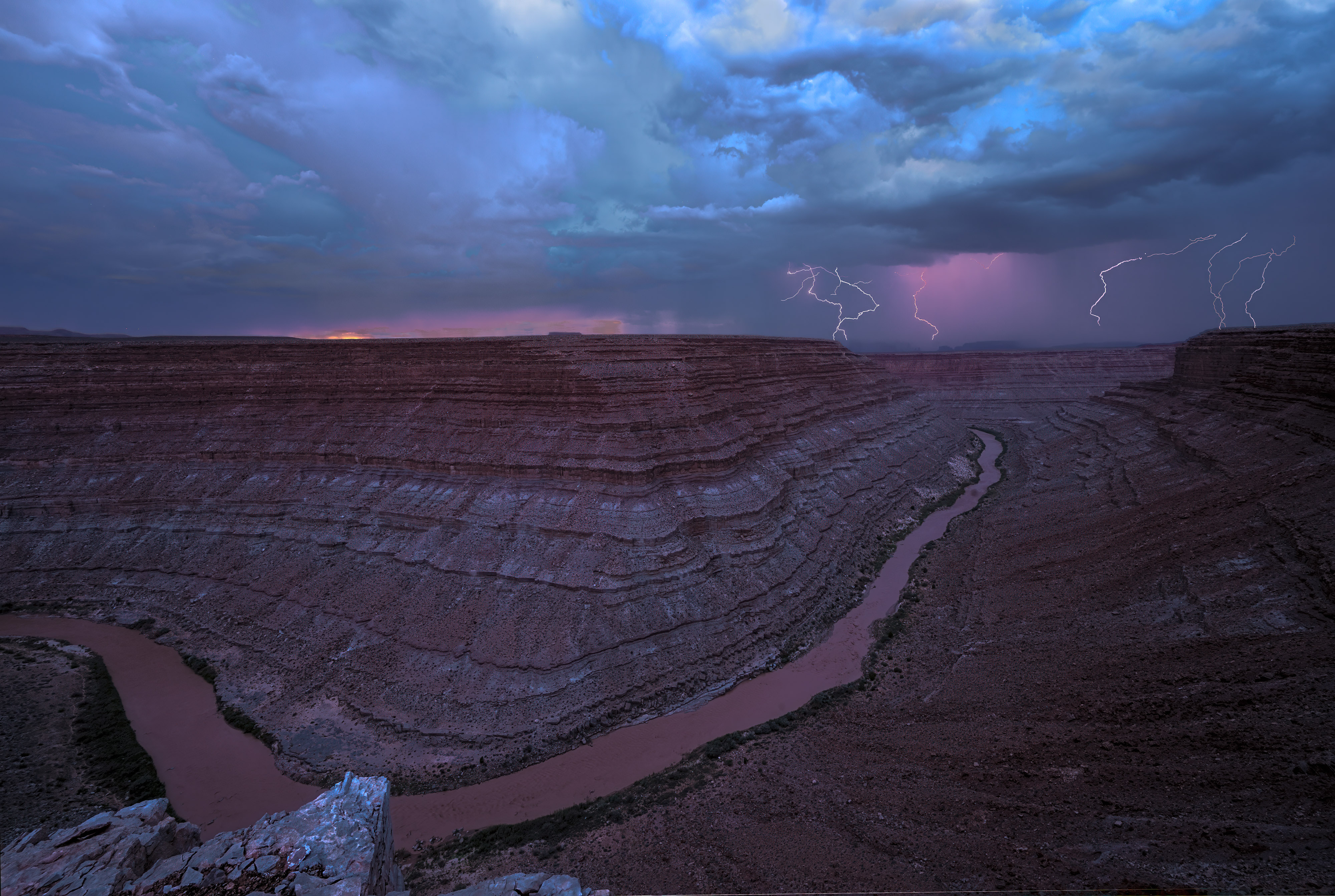
San Juan Overlook Lightning 1
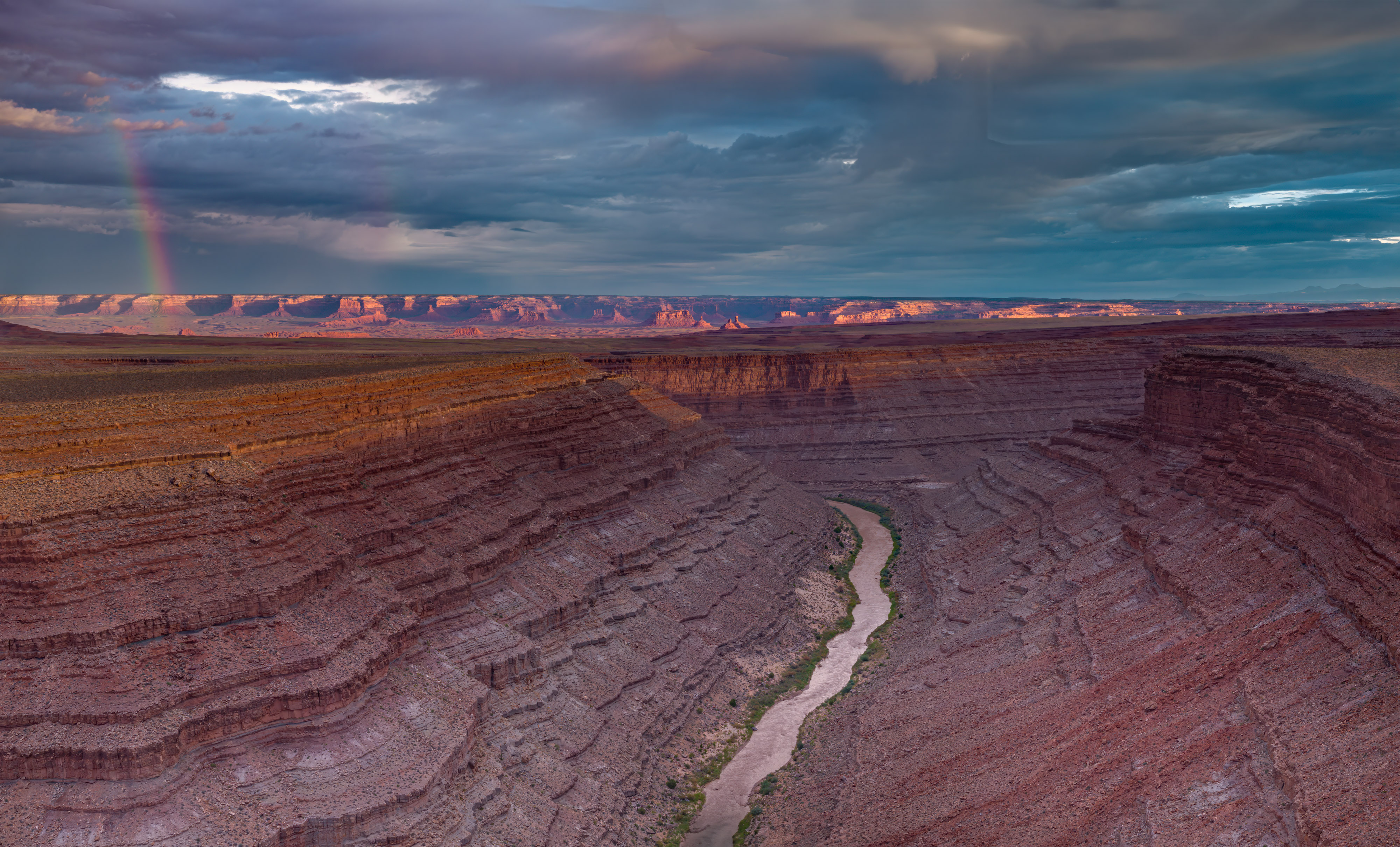
San Juan Overlook Rainbow 4
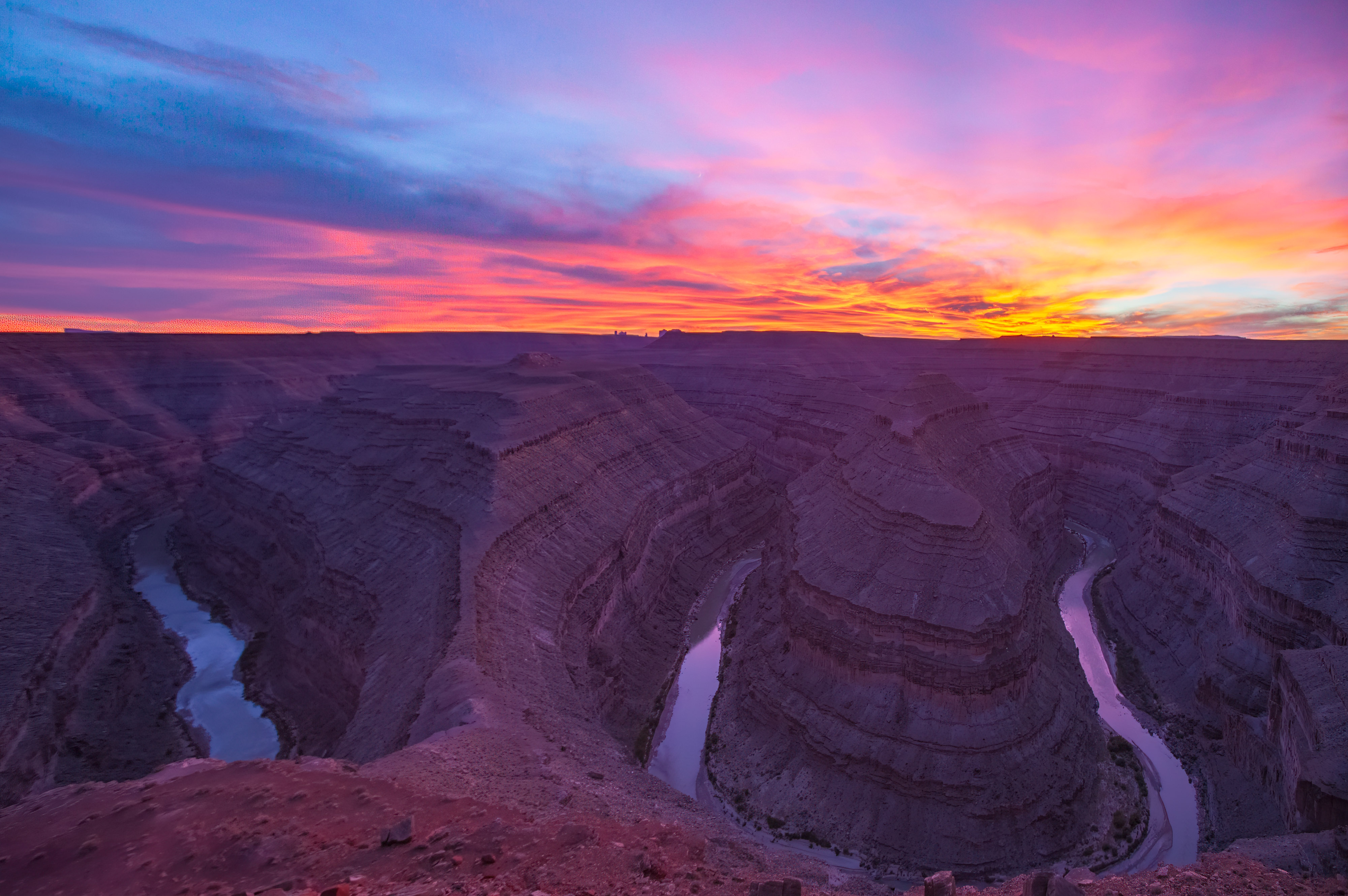
The Goosenecks at Sunset

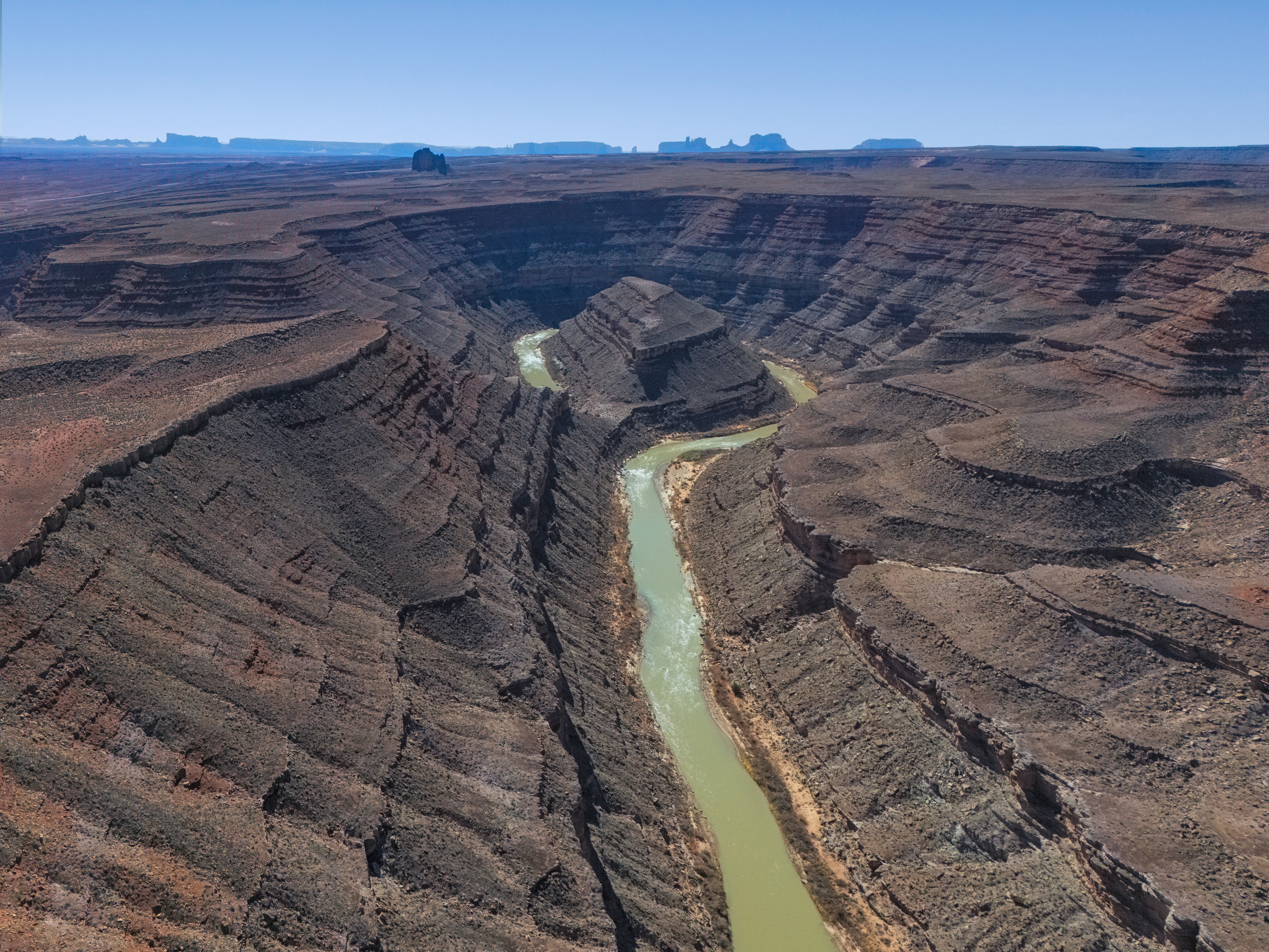
Goosenecks 1

San Juan at Dry Bayou Mesa
Mendenhall Loop 1
Mendenhall Loop 2
Raplee Formation 2

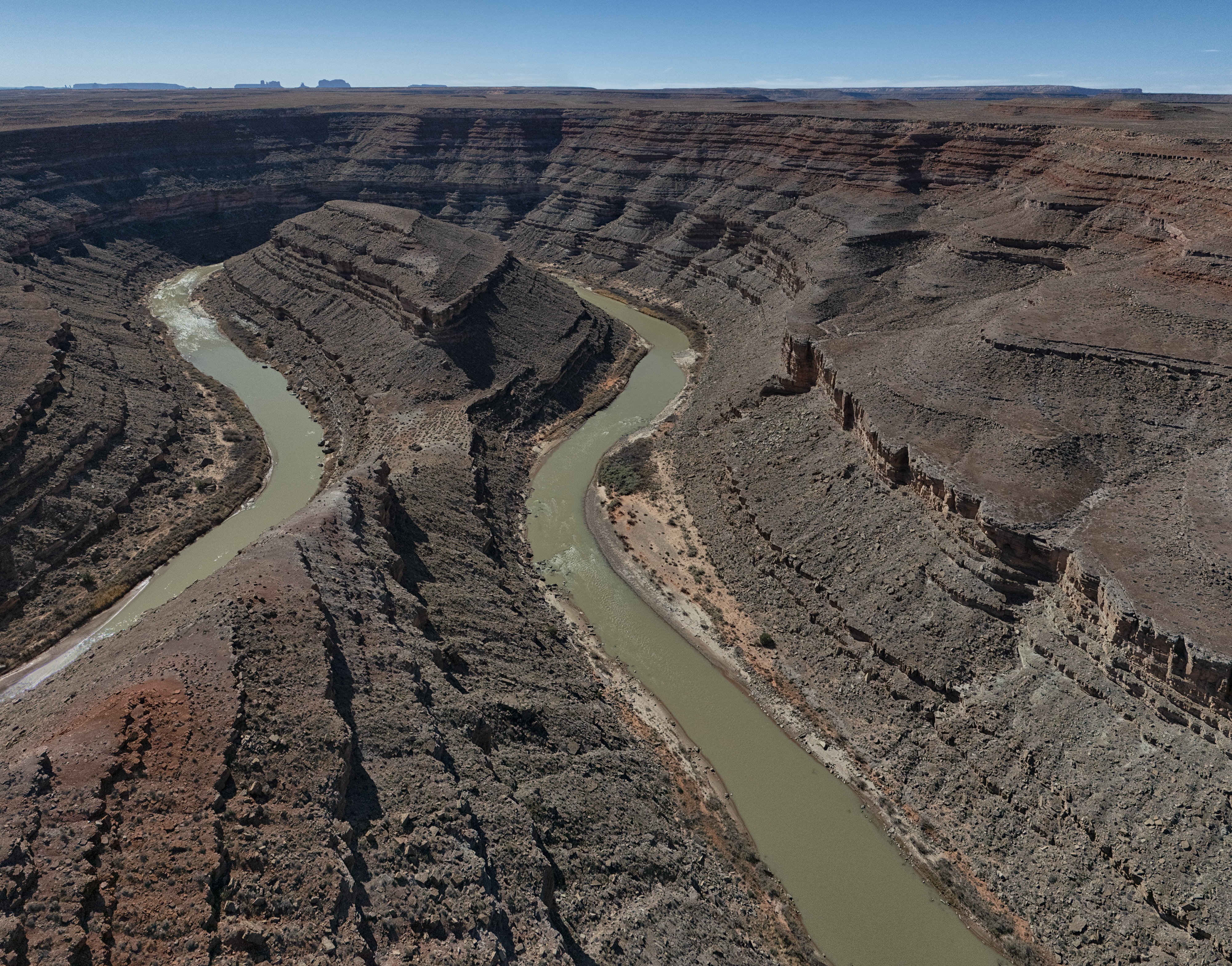
San Juan Overlook 2
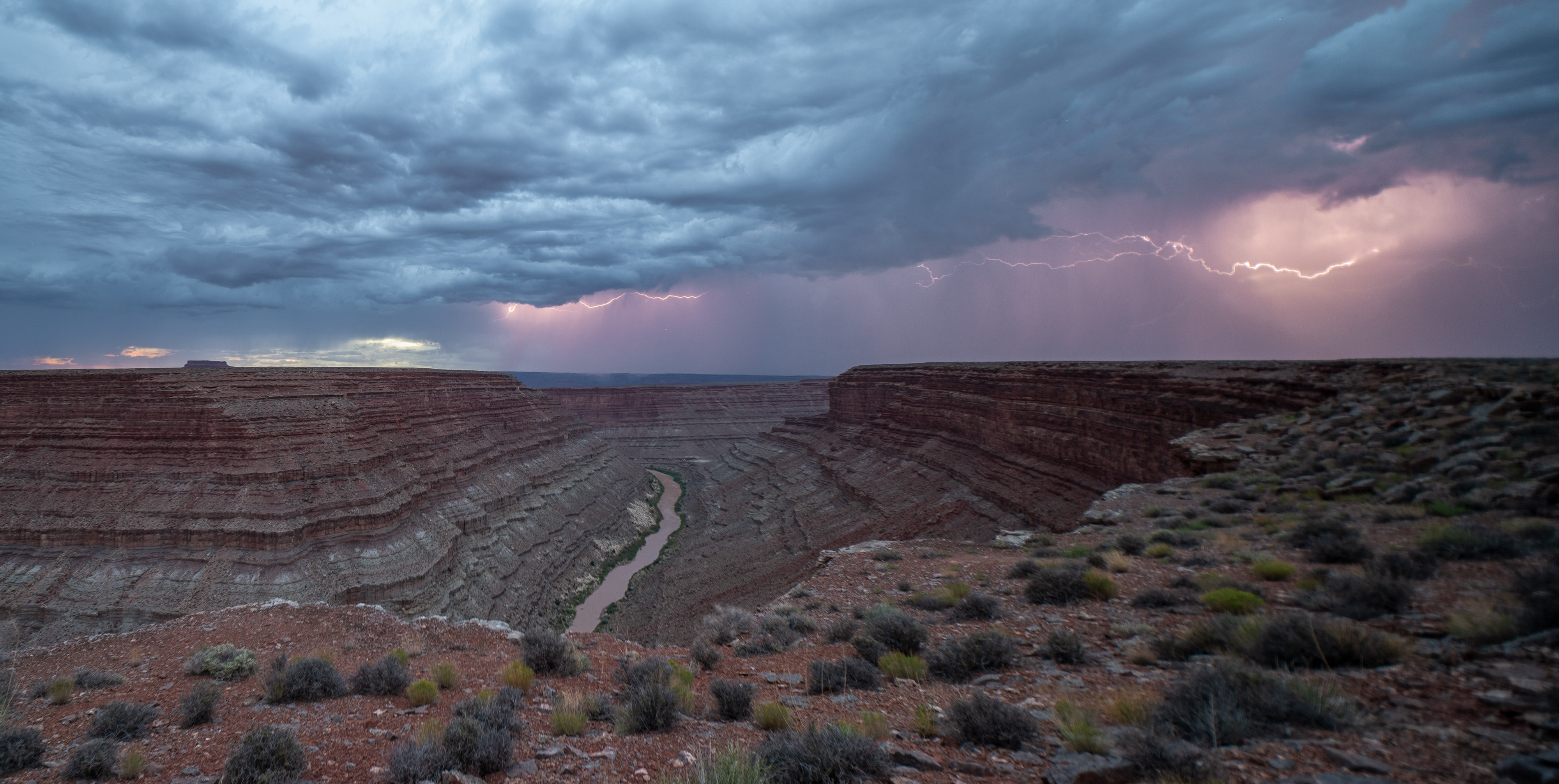
San Juan Overlook Lightning 2

San Juan Overlook Superpano

River Stones 2

River Stones 1

San Juan Country 3

Raplee Ridge 3

Raplee Ridge 1
Raplee Formation 1